Top

Dolomite Alpine Ridgeway No.1

Pragser Tal
Add to favourites
Difficulty
Difficult
Activity time
41:00
Duration in hours
Distance
105.9
Distance in km
Status
Closed
Categories
  • Multi-day hikes (up to 4 stages)
  • Themed trails
  • Hiking and mountain tours
Tags
  • Linear route
Suggested period
Jan
Feb
Mar
Apr
May
Jun
Jul
Aug
Sep
Oct
Nov
Dec
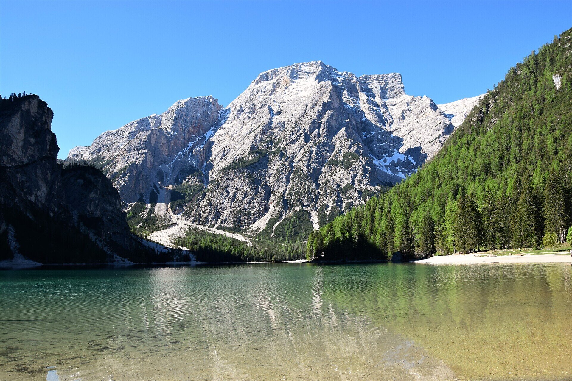
This alpine path leads along the north - south route through the eastern Dolomites.
This alpine path leads along the north - south route through the eastern Dolomites. During the course of the hike you will get to know interesting areas of the eastern Dolomites. The main route leads along an average height of 2.000m - so you have to expect high - alpine conditions. With the exception of the last sections, which can be bypassed on an easier path, experienced hikers will have no difficulties.

Stages: 8 -12 days
Gallery
Categories
  • Multi-day hikes (up to 4 stages)
  • Themed trails
  • Hiking and mountain tours
Tags
  • Linear route
Route info
Difficult
Distance
105,9 km
Activity time
41 h 00 min
Ascent
6.820 m
Descent
7.815 m
Technical skills
Physical effort
Scenary
Highest point
2.740 m
Lowest point
449 m
You might be interested in
Discover related tours
Niederdorf
Family hiking tour: Villabassa/Niederdorf – Santa Maria/Aufkirchen
Distance 8,0 km
Activity time 2 h 00 min
Ascent 600 m
Descent 600 m
Status
open
Pragser Tal
Summer hiking - Lago di Braies/Pragser Wildsee - Mountain "Cima dei Colli Alti/Hochalpenkopf"
Distance 5,8 km
Activity time 3 h 10 min
Ascent 1.202 m
Descent 155 m
Status
Closed
Pragser Tal
Summer hiking tour - Ferrara Circuit
Distance 4,8 km
Activity time 1 h 22 min
Ascent 136 m
Descent 136 m
Status
open
Niederdorf
Circular hike: Niederdorf/Villabassa - Lanaweg
Distance 5,3 km
Activity time 1 h 37 min
Ascent 232 m
Descent 232 m
Status
open
Niederdorf
Villabassa/Niederdorf - Minizoo Camping Olympia - Bad Maistatt - Niederdorf/Villabassa
Distance 5,7 km
Activity time 1 h 30 min
Status
open
Sexten
Family hike with buggy: Sexten – Fischleintal valley – Talschlusshütte hut
Distance 12,3 km
Activity time 3 h 05 min
Ascent 221 m
Descent 222 m
Status
open