Top

Dolomites UNESCO Geotrail - Stage 10: from the Dreizinnen Hut to Sesto/Sexten

Sexten
Add to favourites
Difficulty
Difficult
Activity time
4:55
Duration in hours
Distance
15.7
Distance in km
Status
Closed
Categories
  • Hiking and mountain tours
Tags
  • Linear route
Suggested period
Jan
Feb
Mar
Apr
May
Jun
Jul
Aug
Sep
Oct
Nov
Dec
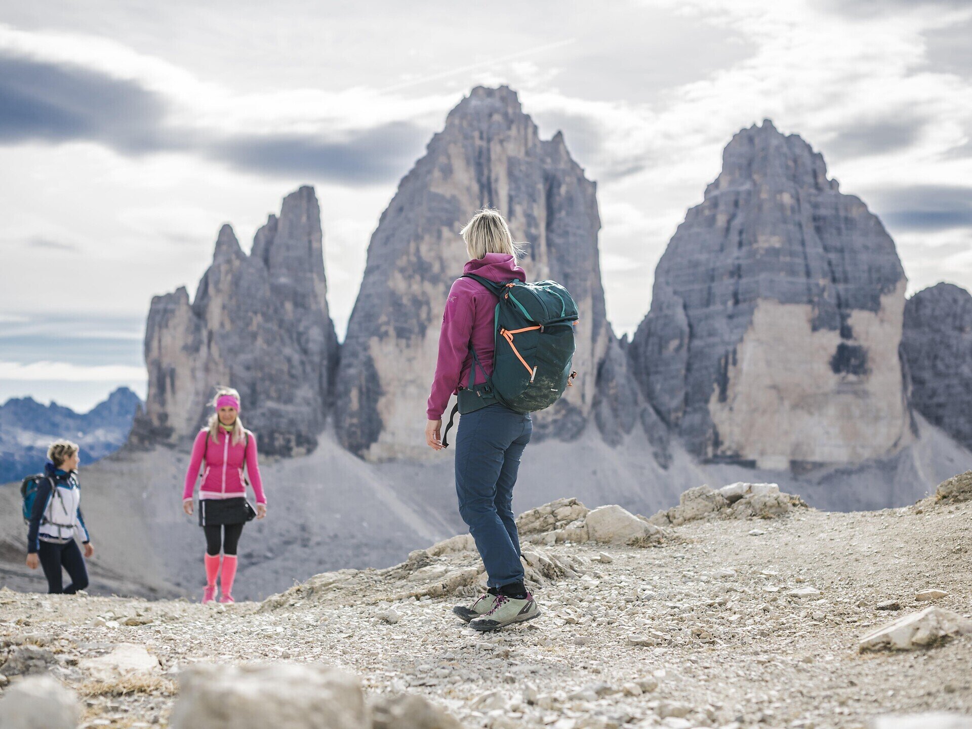
The Geotrail crosses the South Tyrolean Dolomites in 10 days; this stage runs from the Dreizinnenhütte to Sexten. 
  • Passing some of the most beautiful and geologically interesting mountain groups in the Dolomites
  • Overnight stays in Dolomite huts
  • Long-distance hiking trail across South Tyrol
Gallery
Categories
  • Hiking and mountain tours
Tags
  • Linear route
Route info
Difficult
Distance
15,7 km
Activity time
4 h 55 min
Ascent
251 m
Descent
1.348 m
Technical skills
Physical effort
Scenary
Highest point
2.560 m
Lowest point
1.313 m
You might be interested in
Discover related tours
Toblach
Summer hiking tour: Säge/Segheria - Sarlkofel/Monte Serla
Distance 6,3 km
Activity time 3 h 30 min
Ascent 1.197 m
Descent 48 m
Status
open
Sexten
Family Hike: Moos – Fischleintal valley – Talschlusshütte hut
Distance 10,6 km
Activity time 2 h 40 min
Ascent 207 m
Descent 213 m
Status
open
Sexten
Theme path: The Sexten Milk Mile
Distance 3,8 km
Activity time 1 h 00 min
Ascent 39 m
Descent 39 m
Status
open
Innichen, Sexten
Across alpine pastures to the Passo Monte Croce
Distance 7,5 km
Activity time 2 h 30 min
Ascent 71 m
Descent 526 m
Status
open
Sexten
Hiking path with buggy: Moos – Hennstoll hut - Signaue
Distance 3,7 km
Activity time 1 h 05 min
Ascent 98 m
Descent 124 m
Status
open
Niederdorf
Snowshoe hike: Niederdorf/Villabassa - Lanaweg
Distance 5,3 km
Activity time 1 h 37 min
Ascent 232 m
Descent 232 m
Status
Closed