Top

Family hike: Source of the Drava (Drau) River

Innichen
Add to favourites
Difficulty
Easy
Activity time
0:45
Duration in hours
Distance
2.4
Distance in km
Status
open
Categories
  • Themed trails
  • Hiking and mountain tours
  • Family hikes
  • Stroller-friendly
Tags
  • Linear route
  • Suitable for strollers
  • Family-friendly
Suggested period
Jan
Feb
Mar
Apr
May
Jun
Jul
Aug
Sep
Oct
Nov
Dec

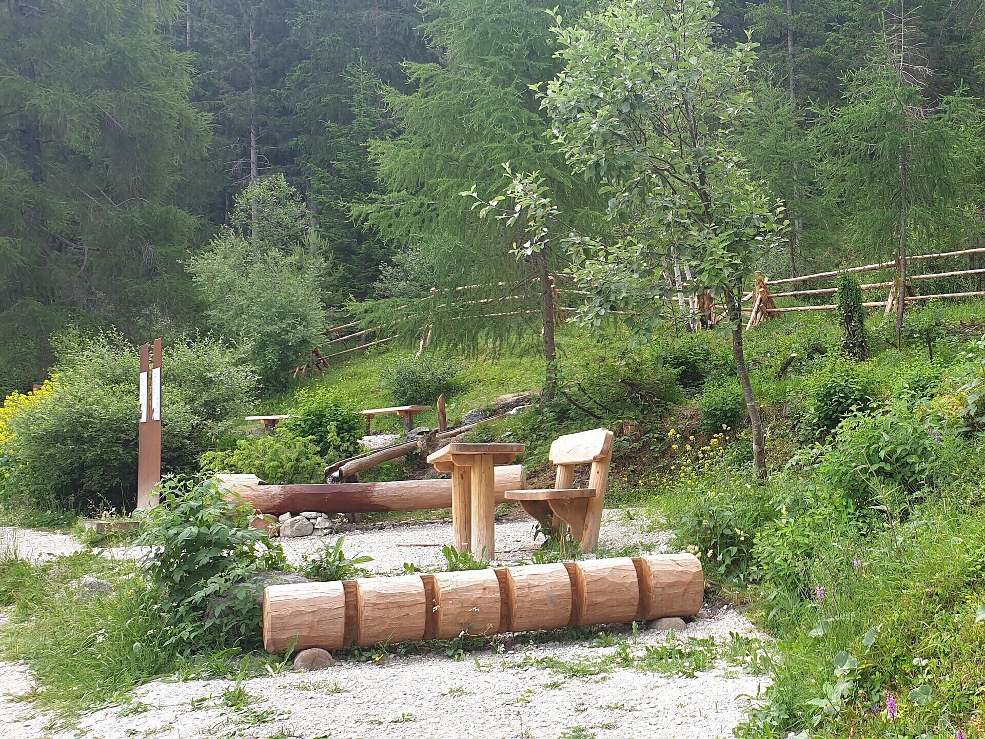
A very easy family hike with no significant inclines. The outward route goes almost entirely through woods, a very peaceful setting. The destination is the source of the Drava river between San Candido/Innichen and Dobbiaco/Toblach. You can drink the water directly from the little fountain: you're unlikely to find fresher, clearer water anywhere.

Gallery
Categories
  • Themed trails
  • Hiking and mountain tours
  • Family hikes
  • Stroller-friendly
Tags
  • Linear route
  • Suitable for strollers
  • Family-friendly
Route info
Easy
Distance
2,4 km
Activity time
45 min
Ascent
43 m
Descent
24 m
Technical skills
Physical effort
Scenary
Highest point
1.215 m
Lowest point
1.175 m
You might be interested in
Discover related tours
Pragser Tal
Family hiking tour - Parking space Plätzwiese High Plateau - Dürrensteinhütte Hut
Distance 2,4 km
Activity time 40 min
Ascent 60 m
Status
open
Toblach
Summer hiking tour: Lückerleschartl/Forcella del Lago - Hochebenkofl/Cima Piatta Alta
Distance 1,5 km
Activity time 1 h 00 min
Ascent 381 m
Status
open
© @TVToblach
Intermediate
Add to favourites
Toblach
Summer-walk to the Lachwiesen hut
Distance 6,7 km
Activity time 2 h 30 min
Ascent 458 m
Descent 458 m
Status
open
Toblach
Theme path: Toblach/Dobbiaco- Toblach/Dobbiaco lake - Nature Educational Trail - Toblach/Dobbiaco
Distance 7,9 km
Activity time 2 h 30 min
Ascent 61 m
Descent 61 m
Status
open
Pragser Tal
Summer hiking tour - Lago di Braies/Pragser Wildsee - Rifugio Biella/Seekofelhütte
Distance 6,2 km
Activity time 3 h 09 min
Ascent 954 m
Descent 105 m
Status
Closed
Toblach
Summer-walk around Altschluderbach/Carbonin Vecchia
Distance 10,6 km
Activity time 3 h 00 min
Ascent 220 m
Descent 220 m
Status
open