Top

Family hiking tour - Pragser Berg/Monte di Braies

Pragser Tal
Add to favourites
Difficulty
Easy
Activity time
1:05
Duration in hours
Distance
3.4
Distance in km
Status
open
Categories
  • Hiking and mountain tours
Tags
  • Linear route
  • Family-friendly
Suggested period
Jan
Feb
Mar
Apr
May
Jun
Jul
Aug
Sep
Oct
Nov
Dec
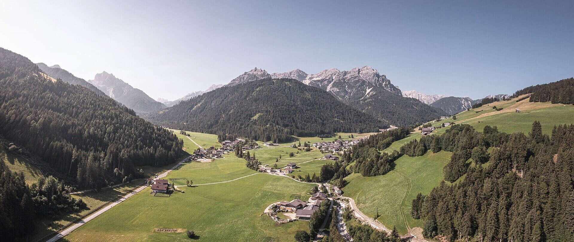
The sunny trail offers you a wonderful view ofer the valley and the mountainous panorama.

You walk on the  approximately 4 kilometer long small asphalt road along the Monte di Braies/Pragser Berg Mountain from Ferrara di Braies/Schmieden to S. Vito/St. Veit. The sunny trail offers a wonderful view ofer the valley and the mountainous panorama. Walking time: 1,5 hours

Gallery
Categories
  • Hiking and mountain tours
Tags
  • Linear route
  • Family-friendly
Route info
Easy
Distance
3,4 km
Activity time
1 h 05 min
Ascent
195 m
Descent
73 m
Technical skills
Physical effort
Scenary
Highest point
1.410 m
Lowest point
1.220 m
You might be interested in
Discover related tours
© Kottersteger
Intermediate
Add to favourites
Pragser Tal
summer walk around the huts Pragser Wildsee lake
Distance 7,5 km
Activity time 4 h 30 min
Ascent 590 m
Descent 590 m
Status
open
© 3 Zinnen Dolomites - Harald Wisthaler
Intermediate
Add to favourites
Sexten
Alpine tour: On the Carnic Mountain Ridge
Distance 27,1 km
Activity time 9 h 00 min
Ascent 842 m
Descent 1.545 m
Status
Closed
© @wisthaler
Intermediate
Add to favourites
Innichen, Sexten
From the Monte Elmo cable car along the "Hüttensteig" trail to the peak of Monte Elmo
Distance 5,2 km
Activity time 2 h 40 min
Ascent 436 m
Descent 434 m
Status
open
© Harald Wisthaler
Intermediate
Add to favourites
Sexten
Hike: To the Gsellwiesen meadows
Distance 7,0 km
Activity time 3 h 35 min
Ascent 766 m
Descent 766 m
Status
open
Toblach
Summer hiking tour: War Cemetery - Flodige
Distance 5,2 km
Activity time 3 h 30 min
Ascent 1.079 m
Descent 60 m
Status
open
© Tourismusverein Innichen
Intermediate
Add to favourites
Innichen
Alpine Tour: Hochebenkofel/Cima Piatta Alta Peak
Distance 24,0 km
Activity time 10 h 00 min
Ascent 12.000 m
Descent 12.000 m
Status
open