Top

Snowshoe-hike tour: Frondeigen/Franadega - Golfen/Monte Calvo

Toblach
Add to favourites
Difficulty
Intermediate
Activity time
2:30
Duration in hours
Distance
5.4
Distance in km
Status
Closed
Categories
  • Snowshoeing
Tags
  • Linear route
Suggested period
Jan
Feb
Mar
Apr
May
Jun
Jul
Aug
Sep
Oct
Nov
Dec
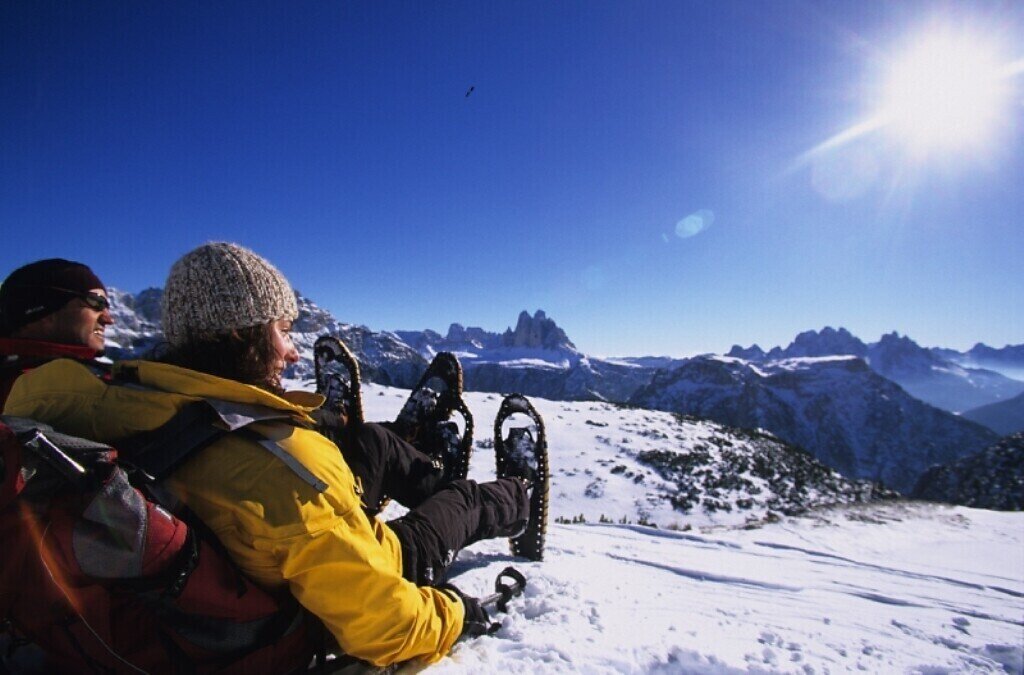
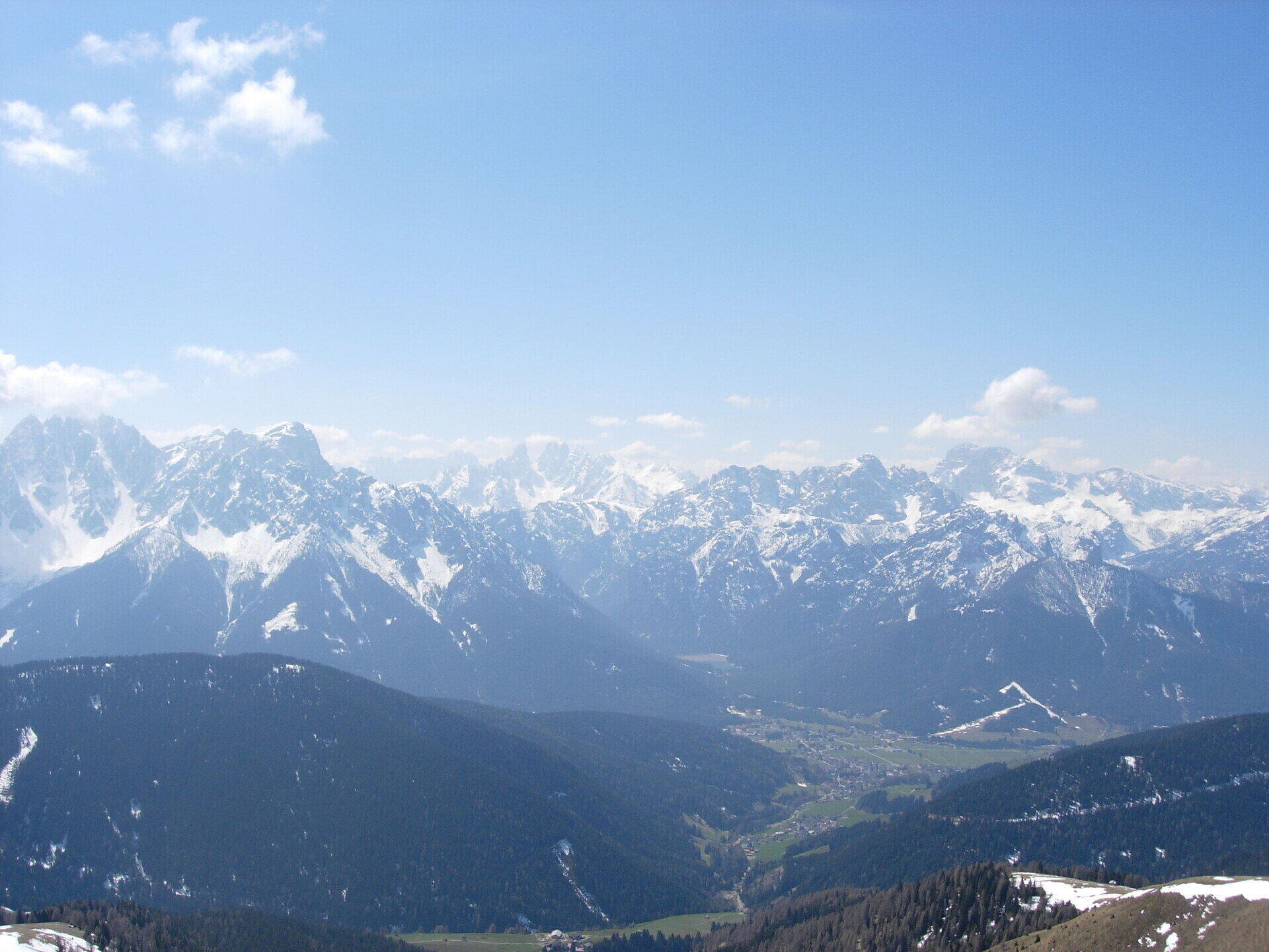
The Monte Calvo offers an optimal view of the famous peaks of the Dolomites.

This snowshoe hike leads up to the Golfen/Monte Calvo, which offers a 360 ° panorama of the snow-covered Dolomite peaks in the south and the Alps in the north.

IMPORTANT: Before starting any ski tour/snowshoe excursion, you must check the weather conditions and danger avalanches report (https://avalanche.report), asking also experts (alpine guides etc.).

Gallery
Categories
  • Snowshoeing
Tags
  • Linear route
Route info
Intermediate
Distance
5,4 km
Activity time
2 h 30 min
Ascent
838 m
Descent
9 m
Technical skills
Physical effort
Scenary
Highest point
2.473 m
Lowest point
1.644 m
You might be interested in
Discover related tours
© Harald Wisthaler
Intermediate
Add to favourites
Sexten
Snowshoe hike: Sexten - Außergsell
Distance 6,5 km
Activity time 3 h 10 min
Ascent 737 m
Descent 5 m
Status
Closed
© TV Niederdorf
Intermediate
Add to favourites
Niederdorf
Snowshoeing: Niederdorf/Villabassa - "Bodenwiese"
Distance 6,4 km
Activity time 2 h 06 min
Ascent 416 m
Descent 354 m
Status
Closed
© Auer Lukas
Intermediate
Add to favourites
Pragser Tal
Snowshoe hike - Ponticello/ Brückele - Stolla Alm hut - Plätzwiese high plateau
Distance 5,3 km
Activity time 1 h 58 min
Ascent 517 m
Descent 21 m
Status
Closed
© Auer Lukas
Intermediate
Add to favourites
Pragser Tal
Snowshoe hike - Braies Vecchia/ Altprags - Malga Putz/ Putzalm
Distance 2,4 km
Activity time 1 h 12 min
Ascent 363 m
Descent 56 m
Status
Closed
© Wisthaler
Intermediate
Add to favourites
Pragser Tal
Snowshoe hike - Pragser Wildsee lake - Grünwaldtal valley
Distance 2,1 km
Activity time 1 h 00 min
Ascent 118 m
Descent 18 m
Status
Closed
Sexten
Snowshoe hike: Three Peaks
Distance 10,9 km
Activity time 5 h 55 min
Ascent 951 m
Descent 947 m
Status
Closed