Top

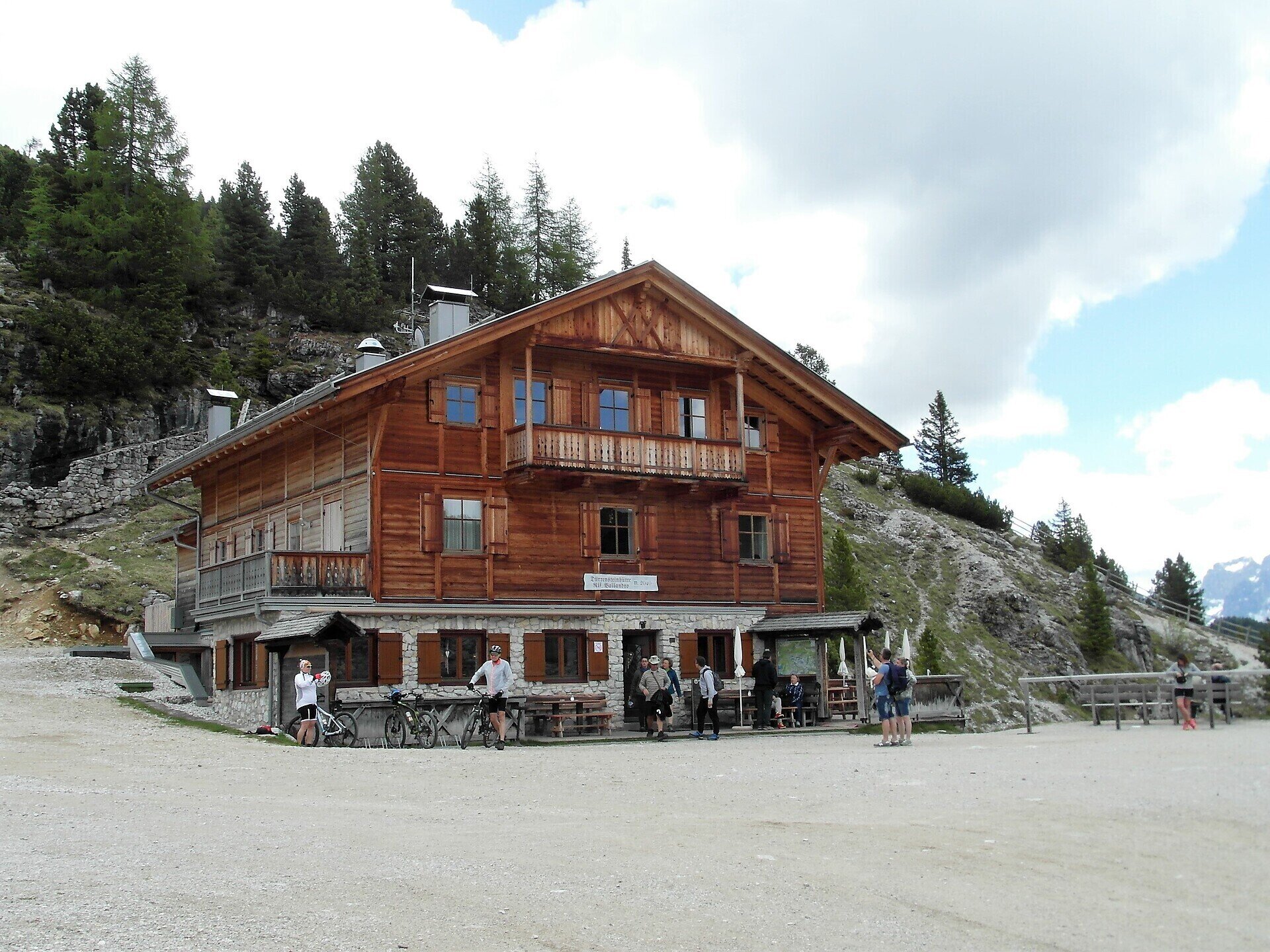
Summer hiking tour: Schluderbach/Carbonin - Dürrensteinhütte/Rifugio Vallandro hut

Toblach
Add to favourites
Difficulty
Intermediate
Activity time
2:00
Duration in hours
Distance
6
Distance in km
Status
open
Categories
  • Hiking and mountain tours
Tags
  • Linear route
Suggested period
Jan
Feb
Mar
Apr
May
Jun
Jul
Aug
Sep
Oct
Nov
Dec
The hiking trail is of medium difficulty and can be combined with a hike to Prato Piazza.

This moderately difficult hike leads up to the Plätzwiese/Prato Piazza, a high plateau at 2,000 m above sea level with a breathtaking view of the Hohe Gaisel/Croda Rossa and the Cristallo.

Gallery
Categories
  • Hiking and mountain tours
Tags
  • Linear route
Route info
Intermediate
Distance
6,0 km
Activity time
2 h 00 min
Ascent
579 m
Technical skills
Physical effort
Scenary
Highest point
2.031 m
Lowest point
1.449 m
You might be interested in
Discover related tours
© Kottersteger
Intermediate
Add to favourites
Innichen
Hike: San Candido - Costa dei Nosellari/Haselsberg - Dobbiaco
Distance 4,8 km
Activity time 1 h 50 min
Ascent 161 m
Descent 109 m
Status
open
© Harald Wisthaler
Intermediate
Add to favourites
Sexten
Hike: Eastern "Gsell"
Distance 10,8 km
Activity time 4 h 40 min
Ascent 814 m
Descent 814 m
Status
Closed
© Harald Wisthaler
Intermediate
Add to favourites
Sexten
Hike: To the Gsellwiesen meadows
Distance 7,0 km
Activity time 3 h 35 min
Ascent 766 m
Descent 766 m
Status
open
Toblach
Theme path: Gustav-Mahler circular path
Distance 4,7 km
Activity time 2 h 00 min
Ascent 72 m
Descent 72 m
Status
open
Innichen
Snowshoe hike: Val Campo di Dentro/Innerfeldtal Valley
Distance 5,7 km
Activity time 2 h 00 min
Ascent 357 m
Status
Closed
Sexten
Hiking path: Sexten – Fischleintal valley - Talschlusshütte hut
Distance 12,6 km
Activity time 3 h 20 min
Ascent 227 m
Descent 224 m
Status
open