Top

Summer hiking tour: View of the Three Peaks/Landro - Strudelkopf/Monte Specie

Toblach
Add to favourites
Difficulty
Difficult
Activity time
3:00
Duration in hours
Distance
5.6
Distance in km
Status
open
Categories
  • Hiking and mountain tours
Tags
  • Linear route
Suggested period
Jan
Feb
Mar
Apr
May
Jun
Jul
Aug
Sep
Oct
Nov
Dec
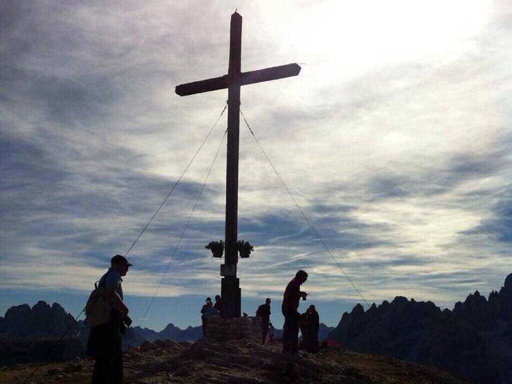
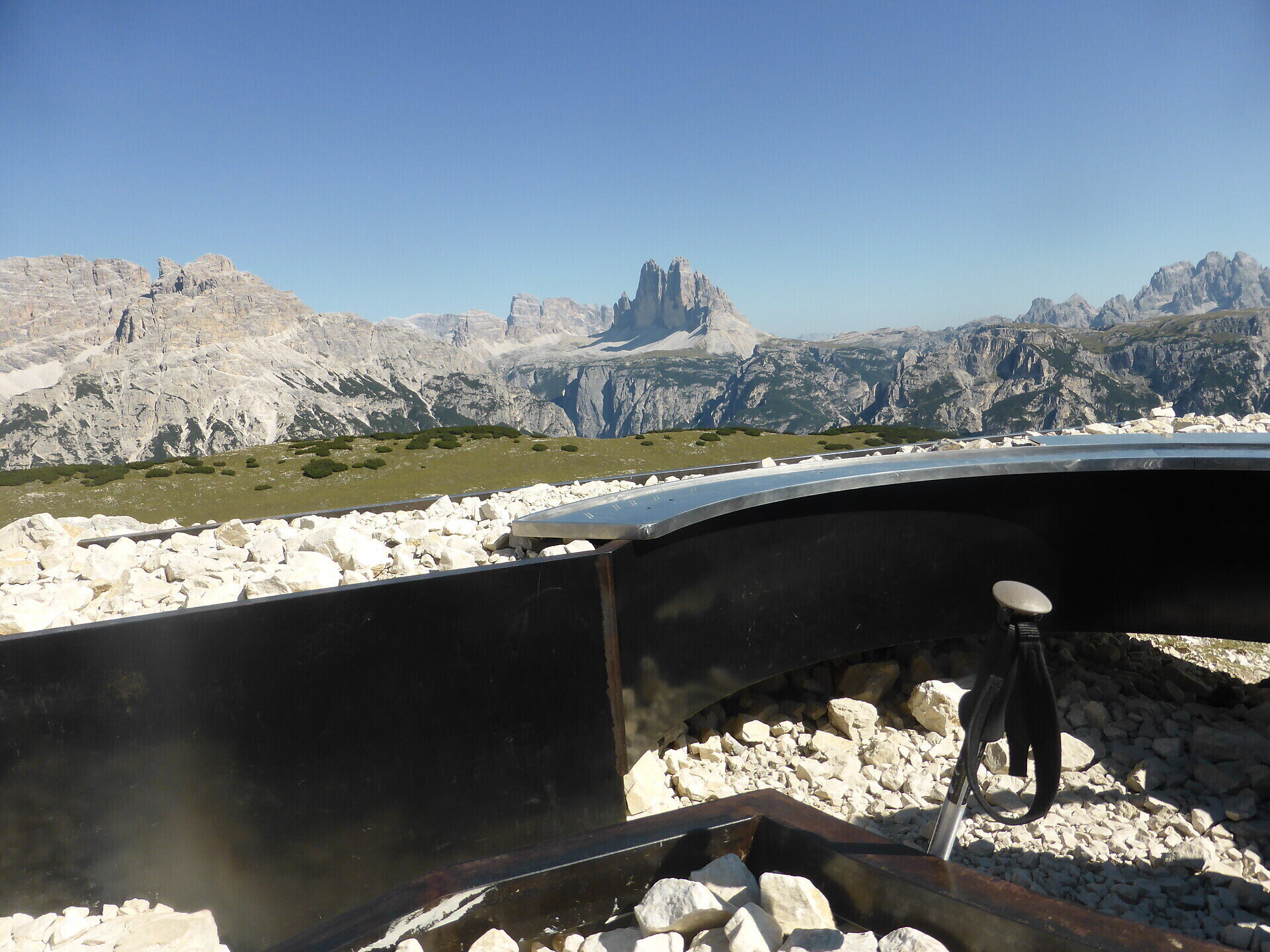
The Strudelkopf offers a great view of the surrounding peaks including the Drei Zinnen, and there is also a viewing platform.

On the top of the Strudelkopf/Monte Specie there is located a viewing platform which indicates all the names of the mountain ranges and the mountain summits visible all round.

Gallery
Categories
  • Hiking and mountain tours
Tags
  • Linear route
Route info
Difficult
Distance
5,6 km
Activity time
3 h 00 min
Ascent
1.033 m
Descent
132 m
Technical skills
Physical effort
Scenary
Highest point
2.305 m
Lowest point
1.400 m
You might be interested in
Discover related tours
© Kotter Steger
Intermediate
Add to favourites
Pragser Tal
Family hiking tour - walk around the Pragser Wildsee Lake
Distance 3,6 km
Activity time 59 min
Ascent 86 m
Descent 86 m
Status
open
© Steiner Erwin
Intermediate
Add to favourites
Pragser Tal
Summer hiking - Lago di Braies/Pragser Wildsee - Mountain "Monte Pra della Vacca/Kühwiesenkopf"
Distance 3,4 km
Activity time 2 h 01 min
Ascent 641 m
Descent 5 m
Status
open
Toblach
Family walking tour: Toblach/Dobbiaco - Toblach/Dobbiaco lake - Nature Educational Trail - Toblach
Distance 7,9 km
Activity time 2 h 30 min
Ascent 61 m
Descent 61 m
Status
open
© © DreiZinnenMarketing/M.Schönegger
Intermediate
Add to favourites
Toblach
Summer hiking tour: Toblach/Dobbiaco - Ratsberg/Monte Rota
Distance 4,5 km
Activity time 2 h 00 min
Ascent 393 m
Descent 5 m
Status
open
© Kotter Steger
Intermediate
Add to favourites
Pragser Tal
Summer hiking tour - Ponticello/Brückele - Prato Piazza/Plätzwiese
Distance 4,2 km
Activity time 1 h 47 min
Ascent 507 m
Descent 11 m
Status
open
© Kotter Steger
Intermediate
Add to favourites
Pragser Tal
Summer hiking - Braies Vecchia/Altprags - Mountain "Monte Lungo/Lungkofel"
Distance 11,7 km
Activity time 5 h 35 min
Ascent 1.173 m
Descent 1.173 m
Status
Closed