Top

Villabassa/Niederdorf - Allwartstein - Badmeisterkofel

Niederdorf
Add to favourites
Difficulty
Intermediate
Activity time
2:57
Duration in hours
Distance
6.6
Distance in km
Status
open
Categories
  • Hiking and mountain tours
Tags
  • Linear route
From Niederdorf main square through forest and Putzalm to Buchsenriedl, then Allwartstein to Badmeisterkofel with scenic views. Duration: approx. 3 hours.

From the main square in Niederdorf, near the town hall, follow trail marker Nr. 15 in an easterly direction. The path initially leads trough woodland and continues to the Putzalm.

Passing the Putzalm, the trail ascends towards the Buchsenriedl. At the Buchsenriedl follow trail marker Nr. 15A towards the Allwartstein. The path initially runs in a south-easterly direction trough mountain forest, ascending at a moderate gradient.

After reaching the Allwartstein continue on trail marker 15A. The route then descends slightly along a narrow ridge. The trail subsequently climbs once more and finally leads to the Badmeisterkofel which offers a scenic summit area.

The return follows the same route via the Buchsenriedl back to Niederdorf

Descent Variant:

From the summit of the Badmeisterkofel, continue on trail marker Nr. 15A in a north-easterly direction. At a Junction below the Alwartstein, keep towards Buchsenriedl and descend on the marked trail trough mountain forest. At the Buchsenriedl, follow trail marker Nr. 15 downhill towards Altprags.

The descent mainly follows a well-maintained forest path and later continues on a wider forestry road.
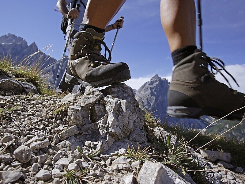
Gallery
Categories
  • Hiking and mountain tours
Tags
  • Linear route
Route info
Intermediate
Distance
6,6 km
Activity time
2 h 57 min
Ascent
850 m
Descent
140 m
Technical skills
Physical effort
Scenary
Highest point
1.958 m
Lowest point
1.147 m
You might be interested in
Discover related tours
Innichen
Spring hike on Innichberg
Distance 5,5 km
Activity time 2 h 05 min
Ascent 340 m
Descent 334 m
Status
open
Toblach
Summer hiking tour: Toblach/Dobbiaco - Fontanta "ZweiWasserBrunnen" - labyrinth
Distance 3,3 km
Activity time 2 h 00 min
Ascent 182 m
Descent 66 m
Status
open
Toblach
Theme path: The story of the Höhlensteintal/Val di Landro valley
Distance 0,6 km
Activity time 30 min
Descent 5 m
Status
open
Innichen
Snowshoe hike: Wildbad Springs - Riese Haunold Hütte Mountain Hut
Distance 6,5 km
Activity time 2 h 30 min
Ascent 3.300 m
Status
Closed
Sexten
Hike: Moos – Froneben agritourism
Distance 4,0 km
Activity time 1 h 25 min
Ascent 208 m
Descent 210 m
Status
open
Innichen
Family hike: Farm Mehlhof - Farm Stauderhof
Distance 2,1 km
Activity time 1 h 00 min
Ascent 285 m
Descent 20 m
Status
open